By James Hulse, September 26, 2022
The Site of Henry High School and Marker
| On West Parker Street (State Highway 294) 0.1 miles west of Davis Street, on the right when traveling west. |
| On Loop State Highway 256 at Moody Street, on the left when traveling south on State Highway 256. |
| On East Murchison Street at East Calhoun Street, on the right when traveling west on East Murchison Street. |
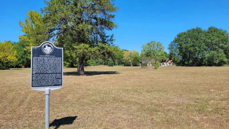
| On State Road 294 at County Road 2119, on the right when traveling east on State Road 294. |
| On East Calhoun Street at Head Street, on the left when traveling east on East Calhoun Street. |
| On West Dye Street at South Jackson Street, on the right when traveling east on West Dye Street. |
| On Lowe Street at Larry Street, on the left when traveling north on Lowe Street. |
| On South Fulton Street at West Burkitt Street, on the left when traveling north on South Fulton Street. |
| On Avenue A at East Main Street, on the left when traveling west on Avenue A. |
| On South Dorrance Street at West Dye Street, on the left when traveling north on South Dorrance Street. |
| On East Lacy Street, on the right when traveling east. |
| Near Moody Street east of Birch Street, on the right when traveling east. |
| On U.S. 79 at County Road 2133 on U.S. 79. |
| On U.S. 79 at County Road 2133, on the right when traveling north on U.S. 79. |
| Near 2nd Street at Farm to Market Road 1458. |
| Near 2nd Street at Farm to Market Road 1458. |
| Near 2nd Street at Farm to Market Road 1458. |
| On Old Medina Highway, 0.1 miles west of Houston Street, on the right when traveling west. |
| Near State Highway 95, 0.1 miles north of Farm Street. |
| On Farm to Market Road 969, 0.4 miles north of Farm to Market Road 61, on the left when traveling west. |
| On Waco Street at Old Highway 20 (Farm to Market Road 333), on the left when traveling east on Waco Street. |
| On Bruner Boulevard, 0.1 miles west of Harper Street, on the right when traveling west. |
| On West Hefferman Street, on the right when traveling west. |
| On North Burke Street, 0.1 miles north of West Corpus Christi Street (U.S. 59), on the right when traveling north. |
| On North Leverman Street at West Corpus Christi Street, on the left when traveling north on North Leverman Street. |
| On West Corpus Christi Street (U.S. 59) at North Burke Street, on the right when traveling west on West Corpus Christi Street. |
| On West Corpus Christi Street (U.S. 59) at North Burke Street, on the right when traveling west on West Corpus Christi Street. |
| On East Hefferman Street, 0.2 miles west of Bypass U.S. 181, on the right when traveling west. |
| On Cryer Dr., on the right when traveling east. |
| On Vann Circle west of College Street, on the right when traveling west. |
| Near Taylors Valley Road, 0.3 miles east of East 6th Avenue (Farm to Market Road 93), on the left when traveling east. |
| On West Village Road, on the right when traveling west. |
| On South 9th Street, 0 miles West Ave E, on the right when traveling north. |
| On South 10th Street at East Avenue D, on the left when traveling south on South 10th Street. |
| On Martin Luther King Jr. Drive at East C Avenue, on the right when traveling north on Martin Luther King Jr. Drive. |
| On North 14th Street at East Shell Avenue, on the left when traveling south on North 14th Street. |
| On East Avenue D at South 10th Street on East Avenue D. |
| On Farm to Market Road 1346 at Adkins Street, on the right when traveling east on Highway 1346. |
| On Alamo Plaza at East Houston Street on Alamo Plaza. |
| On Pecan Valley Drive at Sewanee Street, on the right when traveling north on Pecan Valley Drive. |
| On Graham Avenue, 0.1 miles west of South Flores Street. |
| On Augusta Street at Convent Street, on the left when traveling north on Augusta Street. |
| On North St Mary's Street at Convent Street, on the right when traveling south on North St Mary's Street. Reported permanently removed. |
| On Wyoming Street at South Mittman Street, on the right when traveling east on Wyoming Street. |
| On East Commerce Street at Gay Blvd, on the right when traveling east on East Commerce Street. |
| On Center Street at North Cherry Street, on the left when traveling east on Center Street. |
| On North Pine Street at East Crockett Street, on the left when traveling south on North Pine Street. |
| Near Paso Hondo west of North Palmetto Street, on the right when traveling east. |
| On North Mesquite Street at Center Street, on the right when traveling north on North Mesquite Street. |
| On Chestnut Street south of East Crockett Street, on the right when traveling north. |
| On East Commerce Street at Sycamore Street, on the right when traveling west on East Commerce Street. |
| On Chestnut Street south of East Crockett Street. |
| On Center Street west of North Hoefgen Avenue, on the left when traveling west. |
| Near So. General McMullen Drive, 0.5 miles south of U.S. 90. |
| On Villita Street at King Philip Alley, on the left when traveling west on Villita Street. |
| On Camaron Street at West Houston Street, on the left when traveling north on Camaron Street. |
| On Camaron Street at West Houston Street, on the left when traveling north on Camaron Street. |
| On Old Pearsall Road (Farm to Market Road 2536) 0.2 miles east of Edwards Road, on the right when traveling west. |
| On Macodonio Street north of San Antonio Boulevard, on the left when traveling north. |
| On Montana Street, 0.1 miles west of South New Braunfels Avenue, on the left when traveling west. |
| On Peyton Colony Road (County Highway 409) 0.2 miles Farm to Market Road 165, on the left when traveling north. |
| On Peyton Colony Road, 0.2 miles north of Farm to Market Road 165, on the left when traveling north. |
| On State Highway 144, 0.2 miles south of County Highway 2530, on the left when traveling north. |
| On North State Line Avenue (U.S. 71) at Hazel Street, on the right when traveling south on North State Line Avenue. |
| On West Live Oak Street, on the right when traveling west. |
| Near Main Street (County Route 703) 0.1 miles south of Austin Street (County Road 300E), on the right when traveling north. |
| On North Velasco Boulevard (County Road 523) just north of South Avenue H, on the right when traveling north. |
| On Weldon Road at State Highway 36, on the right when traveling east on Weldon Road. |
| Near Gulf Prairie Road, 0.2 miles south of Texas Highway 36, on the left when traveling south. |
| On West Brazos Street (State Highway 35) at Brown Street, on the left when traveling west on West Brazos Street. |
| Near S. Broad St. close to E. Clay St.. |
| On South Broad Street north of East Clay Street, on the right when traveling south. |
| On North 13th Street east of Hogg Ranch Road, on the right when traveling west. |
| On North 13th Street east of Hogg Ranch Road, on the right when traveling east. |
| On East Pruitt Street at North Preston Avenue, on the right when traveling west on East Pruitt Street. |
| On Avenue D at 5th Street, on the left when traveling south on Avenue D. |
| On North Houston Avenue north of East 22nd Street, on the right when traveling north. |
| On Eleanor Street at Holleman Drive, on the left when traveling north on Eleanor Street. |
| On County Highway 267 at Farm to Market Road 2155, on the right when traveling east on County Highway 267. |
| On East Market Street at Carver Street, on the right when traveling east on East Market Street. |
| On Chamberlin Road (County Road 167) 0.2 miles south of Dale Road (County Road 294), on the right when traveling south. |
| On East Davis Street at Laurel Avenue, on the left when traveling west on East Davis Street. |
| On West Newton Street at Texas Avenue, on the right when traveling west on West Newton Street. |
| On Old Colony Line Road, on the left when traveling south. |
| On Orleans Avenue, 0.2 miles north of Comal Street. |
| On Alice Wilkins Avenue at South Ann Street, on the right when traveling south on Alice Wilkins Avenue. |
| On West Center Street at San Antonio Street, on the right when traveling west on West Center Street. |
| On Alice Wilkins Avenue at Ann Street, on the left when traveling west on Alice Wilkins Avenue. |
| Near Gorgas Drive at May Street. |
| Near Palmito Hill Road, 0.1 miles south of Boca Chica Boulevard (State Highway 4), on the right when traveling south. |
| On Farm to Market Road 96 near 2112, on the left when traveling north. |
| On East Street (County Route 249) near Main Street. |
| On East Houston Street (Texas Route 11) at South Kaufman Street, on the right when traveling east on East Houston Street. |
| On North Texas Avenue north of Miller Street, on the right when traveling north. |
| On Farm to Market Road 565, 0.1 miles south of Oak Grande Drive, on the right when traveling south. |
| On Eagle Ferry Road, 0.4 miles west of Smith Point Road (Farm to Market Road 562), on the right when traveling west. |
690 entries matched your criteria. The first 100 are listed above.
Next 100 ⊳