2 entries match your criteria.
Related Historical Markers
By Cosmos Mariner, August 20, 2022
Santa Fe Trail Marker
SHOWN IN SOURCE-SPECIFIED ORDER
| 1 ► Kansas, Edwards County, Offerle — 61 — Santa Fe Trail — 1822-1872 — |
| On U.S. 50/56 just west of South Walnut Street, on the right when traveling west. | |||
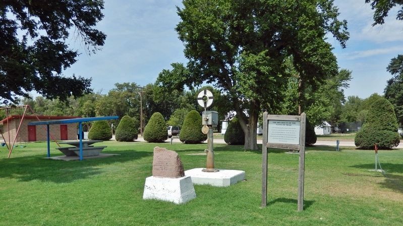
| 2 ► Kansas, Edwards County, Offerle — The Dry Route of the Santa Fe Trail — |
| On U.S. 50/56 just west of South Walnut Street, on the right when traveling west. | |||