Covington in Newton County, Georgia — The American South (South Atlantic)
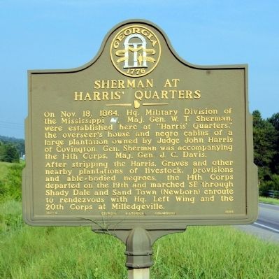
Sherman at Harris’ Quarters
After stripping the Harris, Graves, and other nearby plantations of livestock, provisions and able-bodied negroes, the 14th Corps departed on the 19th and marched SE through Shady Dale and Sand Town (Newborn) enroute to rendezvous with Hq. Left Wing and the 20th Corps at Milledgeville.
Erected 1958 by Georgia Historical Commission. (Marker Number 107-8.)
Topics and series. This historical marker is listed in this topic list: War, US Civil. In addition, it is included in the Georgia Historical Society, and the Sherman’s March to the Sea series lists. A significant historical month for this entry is October 1780.
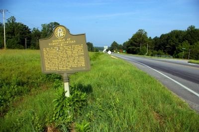
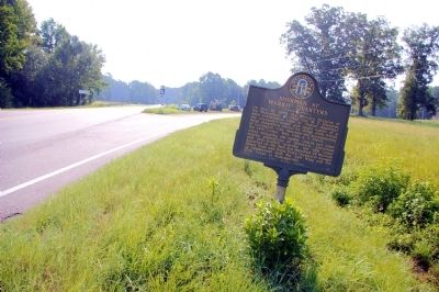
Location. 33° 35.55′ N, 83° 47.733′ W. Marker is in Covington, Georgia, in Newton County. Marker is at the intersection of U.S. 278 and Georgia Route 142, on the right when traveling east on U.S. 278. Touch for map. Marker is in this post office area: Covington GA 30014, United States of America. Touch for directions.
Other nearby markers. At least 8 other markers are within 4 miles of this marker, measured as the crow flies. Brick Store (approx. 3 miles away); Confederate Dead & Hospitals (approx. 3˝ miles away); City Hall (approx. 3.6 miles away); Covington City School (approx. 3.6 miles away); The Female College (approx. 3.6 miles away); Swanscombe (approx. 3.6 miles away); Lucius Q. C. Lamar (approx. 3.7 miles away); The Stoneman Raid (approx. 3.7 miles away). Touch for a list and map of all markers in Covington.
Credits. This page was last revised on June 16, 2016. It was originally submitted on August 8, 2010, by David Seibert of Sandy Springs, Georgia. This page has been viewed 1,683 times since then and 69 times this year. Photos: 1, 2, 3. submitted on August 8, 2010, by David Seibert of Sandy Springs, Georgia. • Craig Swain was the editor who published this page.


